The Guadeloupe sea guide: snorkelling, islets, mooring buoys and rules
Turtles at Malendure, the Grand Cul-de-Sac Marin reef, the Cousteau reserve, Petite-Terre: we tell you where to go and how to go about it. Above all, where to moor, what is closed and what the official orders say.
Contents
- What are the 4 sea rules to know in Guadeloupe before you set off?
- Where can you snorkel from the beach in Guadeloupe?
- Which islets can you visit by boat in Guadeloupe, and where can you land?
- Are mooring buoys in Guadeloupe free or paid?
- Where can you go scuba diving in Guadeloupe, and with whom?
- Where can you surf, kitesurf, kayak and paddleboard in Guadeloupe?
- How can you watch whales and dolphins in Guadeloupe without disturbing them?
Snorkelling in Guadeloupe often starts with your feet in the sand: in Bouillante, Les Saintes or La Désirade, you walk into the water and the turtles are right there. For the islets, the coral reef or Petite-Terre, you need a boat, and the rules matter: where to moor, where to land, what is closed.
What are the 4 sea rules to know in Guadeloupe before you set off?
What is the 300 m coastal strip?
Close to the shore, in the 300 m coastal strip (bande des 300 m), the speed limit is 5 knots. Jet skis may only travel there on a course perpendicular to the shore. Water-skiing, towed inflatables and parasailing are banned there (prefectoral order, arrêté préfectoral, n°2018-116 of 10 July 2018).
Can you anchor on seagrass beds?
Since prefectoral order n°329 of 5 June 2023, anchoring on seagrass beds is banned in internal waters. Where anchoring is allowed, the anchor goes in the sand, between the seagrass beds.
What is banned in the National Park’s core zone?
The îlets Pigeon (the Cousteau reserve) and several sectors of the Grand Cul-de-Sac Marin (the large lagoon between Basse-Terre and Grande-Terre) are in the core zone of the National Park (cœur de Parc). Anchoring is banned: you pick up a Park buoy. Jet skis are banned. So are spearfishing, shore gathering (pêche à pied), line fishing from the shore and collecting marine animals (decree n°2009-614). And no disturbing the wildlife, noise included.
How close can you get to whales and dolphins?
No deliberate approach closer than 300 m. Details at the end of this guide.
Where can you snorkel from the beach in Guadeloupe?
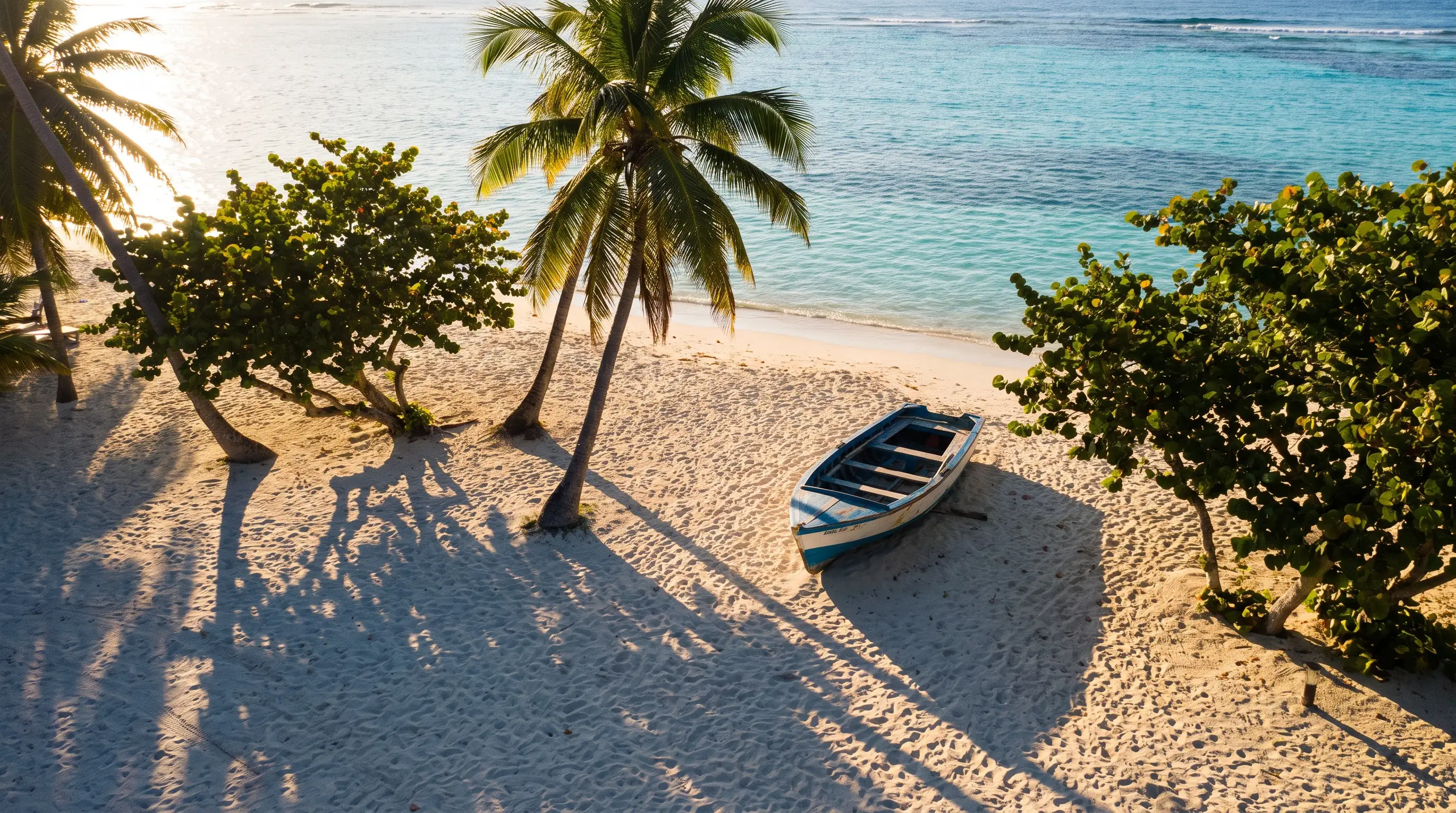
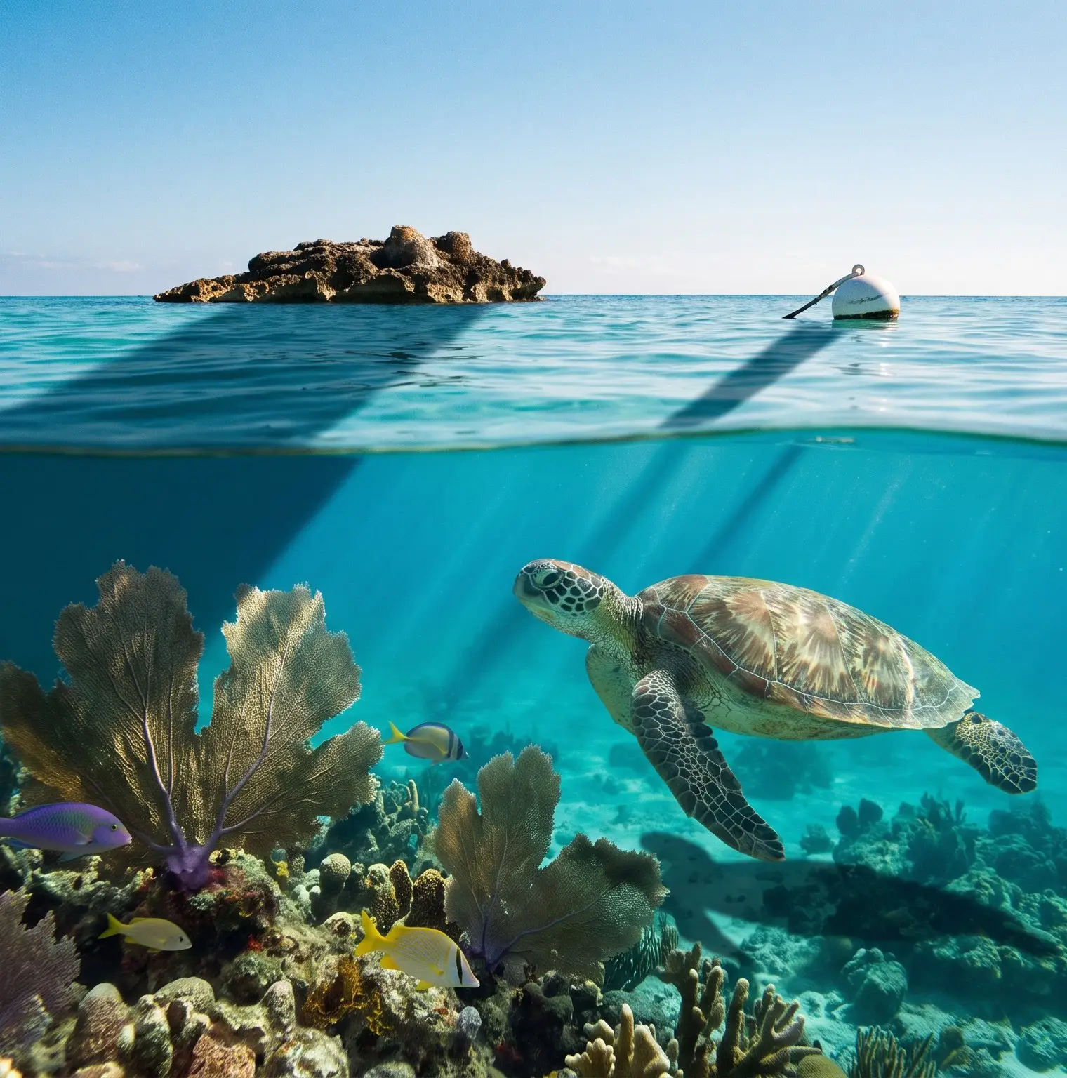
Malendure, Bouillante. You walk in from the sand and, in 3 to 4 m of water, green turtles graze on the seagrass. It is also where boats leave for the îlets Pigeon: head up to the north end of the beach and keep clear of the mooring area and the channel.
Petite Anse, Bouillante. Just north of Anse à la Barque. Rocky reef and seagrass down to about 6 m, turtles are frequent. No lifeguards, and the car park fills up fast: get there early and check the swell and current.
Pain de Sucre, Terre-de-Haut. About 40 minutes’ walk from the ferry landing. Seagrass at 1 to 3 m in the middle, with sea urchins: don’t put your feet down on the bottom. The best part is on the rocks on each side, with sea fans, sponges and fish. Boats come into the cove (anse): keep an eye on the surface.
Plage à Fifi, La Désirade. About 200 m from Beauséjour harbour, a calm lagoon sheltered by the reef. In season, turtles come here to lay their eggs.
-
Malendure : les tortues sur les herbiers
Walk in from the sand: seagrass beds at 3-4 m where green turtles graze. Best to head up to the north end of the beach, away from the boats. Don't touch or feed them.
-
Petite Anse (Bouillante)
Small beach in the south of Bouillante, just north of Anse à la Barque. Rocky reef and seagrass down to ~6 m, green turtles are frequent. The car park fills up fast.
-
Pain de Sucre
Small beach at the foot of the peak, ~40 minutes' walk from the ferry landing. Seagrass in the middle (1-3 m); the best part is on the rocks on each side: sea fans, sponges, fish.
-
Plage à Fifi (La Désirade)
~200 m from Beauséjour harbour: a calm lagoon sheltered by the reef, with coral and fish; in season, turtles come to lay their eggs on the beach.
For swimming, see our beach guide.
Which islets can you visit by boat in Guadeloupe, and where can you land?
Grand Cul-de-Sac Marin: can you go to îlet Caret, La Biche, Fajou and the reef?
Order DM n°2021-552 of 15 November 2021 (arrêté from the Direction de la mer, the State’s maritime authority) sets out 137 buoys in 11 mooring areas. Anchoring is banned in the Park’s core zone, and the Park points out that free anchoring (mouillage forain) is also banned in the adjacent marine area. Inside the mooring areas, the speed limit is 3 knots.
Îlet Caret. This sandbank managed by Sainte-Rose has been closed since 15 September 2023 for clean-up and replanting. The closure was extended to 31 December 2024, then to June 2025, and kept in force at least until 30 June 2026. The municipal order bans coming alongside and landing with any craft, animals, and group or commercial activities (a class 4 fine, amende de 4e classe). As of 7 October 2026, no extension or reopening has been published: check with Sainte-Rose town hall before you go. In any case, anchoring is banned (order DM n°2021-552) and you moor on the buoys of mooring area no. 6.
Îlet Blanc. The only regular nesting site of the roseate tern in Guadeloupe. In 2026, a prefectoral order closed it from 15 April to 30 September: landing and approaching closer than 100 m are banned, with the limit marked by yellow buoys. The dates change every year, so check the order currently in force. Outside that period, access is still regulated: ask the Park before you set foot on it.
Îlet La Biche. A sandy islet (îlet) opposite Sainte-Rose, with clear, shallow water. It is in the Park’s core zone, and the buoys (mooring area no. 10) also take kayaks. Landing: the rule has not been published, ask before you go.
Îlets du Carénage. Mangrove islets in the west of the lagoon, in the Park’s core zone, mooring area no. 11 with kayak spots. A buffer zone there bans sailing, landing and anchoring during the bird breeding season (dates and boundaries to check with the Park).
Îlet à Fajou. The largest islet in the lagoon, covered in mangrove. Mooring area no. 5: 33 white buoys for private boaters, 17 pink ones for tour operators. You stay on the water: no going ashore, according to the Direction de la mer (exact wording still to be confirmed).
The coral reef. Open-water snorkelling, with no landing possible: L’Épave (area 7, 7 buoys including one for canoes and kayaks), Chicago (area 8, 8 buoys) and La Piscine (area 9, 3 buoys).
-
Îlet La Biche
Small sandy islet opposite Sainte-Rose, clear shallow water, reachable by boat or kayak. Dedicated buoys (area 10), including for kayaks.
-
Îlets du Carénage
Mangrove islets in the west of the Grand Cul-de-Sac Marin, in the Park's core zone. Organised moorings (area 11) including kayak spots; buffer zone for the birds.
-
Îlet à Fajou
The largest islet in the lagoon, covered in mangrove and a turtle nesting site; mooring on Park buoys only, no going ashore.
-
Barrière de corail : L'Épave, Chicago, La Piscine
Snorkelling sites along the Grand Cul-de-Sac Marin reef, fitted with Park buoys; no landing possible (open water).
Can you visit the Cousteau reserve, Kahouanne and Tête à l’Anglais?
Îlets Pigeon, Bouillante. Two islets 1.1 km from Malendure, in the Park’s core zone since 2009. People come for the Jardin de corail (coral garden), the hot springs and the bust of Cousteau submerged at around 12 m. Go by boat, by kayak or with a dive club. Anchoring is banned, Park eco-mooring buoys only (current number and fee not published). The seabed drops off quickly, except in the sandy channel between the two islets, and boat traffic is heavy. Landing: rule to be confirmed with the Park.
Îlet Kahouanne, Deshaies. A refuge for turtles and seabirds. It is a core zone of the Park closed to the public: no landing, not even briefly, and drones need a permit.
Îlet Tête à l’Anglais. A small volcanic islet shaped like a colonial pith helmet, where terns and noddies nest. Landing is banned all year round, as the Park reminded everyone in July 2025. You watch from the boat, without approaching the colonies.
How do you get to îlet du Gosier?
A shuttle boat runs from the beach, through a channel where swimming is not allowed, and you snorkel on the reefs around the islet. An organised mooring area has been approved between the islet and Anse Tabarin (inter-prefectoral order n°2026-57 of 13 January 2026): around sixty buoys, booked through a platform run by the town. Once it is in service, anchoring will be banned from La Datcha to Tabarin. The works, which started on 23 January 2026, ban sailing, swimming and anchoring in the marked-out area until further notice: check with the town of Le Gosier on where things stand.
How do you visit Petite-Terre?
Two uninhabited islets off La Désirade, in a national nature reserve: the largest iguana population in the Lesser Antilles, and a lagoon with turtles, rays and lemon sharks. You go with an authorised operator (commercial visits capped at 180 people a day in the 2022 ONF file, to be checked for this year). The islet of Terre-de-Haut is closed to the public. On Terre-de-Bas, you stay on the beach, in the lagoon and on the marked trails. Anchoring is banned, one boat per buoy, tenders at under 3 knots and only to land, never beached on the sand. No walking on the coral, no music. Watch out for the current in the lagoon. On your own boat, contact the managers first (the ONF, France’s national forestry office, and the Titè association): the rules for private boaters are not published.
Where do you moor in Les Saintes?
Îlet à Cabrit closes off the bay opposite the village of Terre-de-Haut. Dive clubs dive around it. Boats moor on the bay’s paid buoys, and you land by tender in the village.
-
Îlets Pigeon, réserve Cousteau
The two islets 1.1 km from Malendure. Jardin de corail, Piscine, Aquarium, hot springs, bust of Cousteau submerged at around 12 m. By boat, kayak or with a club; anchoring banned.
-
Îlet Kahouanne
Landing on the islet is banned: enjoy the seabed from the boat.
Wild islet ~1.5 km north-west of Deshaies, a refuge for turtles and seabirds (frigatebirds, terns, pelicans). Explore it from a boat, without coming alongside.
-
Îlet Tête à l'Anglais
Landing banned all year round (National Park).
Small volcanic islet (about 1.5 ha) shaped like a colonial pith helmet, a sanctuary for terns and noddies. Admire it from the boat, without approaching the colonies.
-
Îlet du Gosier
Islet with a lighthouse opposite the town centre, served by a shuttle boat from the beach. Snorkelling on the reefs around it; mooring is now organised as a ZMEL (organised mooring area).
-
Îlets de Petite-Terre
Nature reserve: go with an authorised operator, the number of visitors per day is limited, and the islet of Terre-de-Haut is closed to the public.
Two uninhabited islets off La Désirade, the largest iguana population in the Lesser Antilles. Lagoon with turtles, rays and lemon sharks. Visit on an approved trip.
-
Îlet à Cabrit
Islet closing off the bay of Les Saintes, opposite the village of Terre-de-Haut. Dives around it (Pointe à Cabrit) and mooring on permanent moorings.
Are mooring buoys in Guadeloupe free or paid?
There are two systems: the Park’s buoys, free to use in the Grand Cul-de-Sac Marin, and the municipal mooring areas (ZMEL, zones de mouillages et d’équipements légers), which charge a fee.
| Area | Buoys | Free or paid | Managed by | Source |
|---|---|---|---|---|
| Grand Cul-de-Sac Marin, 11 areas | 137 | Free to use | National Park | Order DM n°2021-552 |
| Îlet à Fajou, area 5 | 50 (33 private boaters, 17 operators) | Free to use, a fee may apply to operators | National Park | Order DM n°2021-552 |
| Reef, areas 7 to 9 | 18 | Free to use | National Park | Order DM n°2021-552 |
| Sable de Bar, Port-Louis, area 1 | 13 | Free to use | National Park | Order DM n°2021-552 |
| Caret (area 6), La Biche (10), Carénage (11) | Not published | Free to use | National Park | Park mooring map |
| Îlets Pigeon | Not published | Fee not published | National Park | Park leaflet |
| Anse de Deshaies | 31 (as of 2020) | Fee not published | Town of Deshaies | DM maritime monograph |
| Le Gosier town centre | Around sixty | Fee not published | Town of Le Gosier | ZMEL information sheet 2026 |
| Bay of Terre-de-Haut, areas 1A and 1B | 57 | Paid, fee not published | Town of Terre-de-Haut, through a contractor | ZMEL environmental analysis 2022 |
| Petite-Terre | 27 | Paid for operators, not published for private boaters | ONF and the Titè association | ONF file 2022 |
| Bay of Saint-Louis, Marie-Galante | Planned: about 66 (2020) | Opening not confirmed | Town of Saint-Louis | DM maritime monograph |
In Bouillante, Anse à la Barque is listed as an option in the works for the future mooring area (2025 call for tenders), with no confirmation that buoys have been laid: the seagrass rule applies.
-
Mouillage de l'anse de Deshaies
Classic stopover at the north end of the Côte-sous-le-Vent (leeward coast): mooring area organised by the town off the village, with eco-designed permanent moorings.
-
Mouillages de la baie des Saintes
The main anchorage in Les Saintes: paid buoys from the village to Fond Curé, managed by the town through a contractor. Land by tender in the village.
-
Sable de Bar et pointe du Fer à Cheval
North-east entrance to the Grand Cul-de-Sac Marin, in the Park's adjacent area; buoys along the beach, a starting point for paddling towards the lagoon.
-
Mouillage de la baie de Saint-Louis
Marie-Galante's main yacht anchorage, off the town centre; a ZMEL (organised mooring area) of around sixty buoys was planned in 2020.
-
Anse à la Barque
Sheltered cove in the south of Bouillante; included as an optional site in the organised mooring project, current status not confirmed.
Where can you go scuba diving in Guadeloupe, and with whom?
According to the Park, the Cousteau reserve is one of the busiest dive sites in France. Very close to Malendure, the Gustavia and Franjack wrecks are two former 50 m sand dredgers sunk on the sand after Hurricane Hugo to act as artificial reefs. Further south, Pointe à Lézard marks the edge of the marine core zone: the Bouillante clubs go there by boat.
Between Basse-Terre and Les Saintes, Sec Pâté rises to 15 m below the surface and drops to around 200 m, right in the middle of the channel: giant sea fans, moray eels, spiny lobsters. For experienced divers only, with a club.
Depths and level: ask the club. In the marine core zone, any commercial activity must be authorised by the director of the Park (order PNG n°2021-45, reinstated by the Bordeaux administrative court of appeal on 21 May 2024). Ask your club whether it holds this authorisation.
-
Épaves Gustavia et Franjack
Two sand dredgers sunk on a sandy bottom near Malendure, colonised by sponges and fish. Guided dives with local clubs.
-
Pointe à Lézard (Pointe Lézarde)
Dive site on the Côte-sous-le-Vent, in the Park's core zone, south of the îlets Pigeon. Reached by boat (Bouillante clubs).
-
Sec Pâté
Renowned seamount between Basse-Terre and Les Saintes: giant sea fans, angelfish, moray eels, turtles, spiny lobsters. Only with a club.
Where can you surf, kitesurf, kayak and paddleboard in Guadeloupe?
Where can you surf in Guadeloupe for your level?
For beginners, the tourism board (Comité du tourisme) recommends Les Bananiers, in Capesterre-Belle-Eau: a black-sand beach break, easterly swell of 0.5 to 2 m, with a current reported as weak. Damencourt, in Le Moule, a town awarded the “Surf City” label by the French Surfing Federation (FFS) since March 2023, is better suited to intermediate surfers, with the best season from November to February. Le Helleux, in Sainte-Anne, is a reef wave for experienced surfers, easterly to southerly swell of 0.8 to 2 m, reached from Gros Sable beach. At Le Souffleur, in Port-Louis, nothing is documented: ask the local surfers.
-
Les Bananiers (surf)
Beach break on the windward coast of Basse-Terre, easterly swell of 0.5 to 2 m, recommended for beginners (tourism board).
-
Damencourt (surf)
Le Moule has held the FFS (French Surfing Federation) "Surf City" label since March 2023; Damencourt, easterly swell, best season November to February (tourism board).
-
Le Helleux (surf)
Reef break on the south coast; easterly to southerly swell of 0.8 to 2 m, best season late November to February according to the tourism board.
-
Le Souffleur (surf)
Port-Louis is among the surf areas listed by the Direction de la mer; the spot is mapped off Plage du Souffleur.
Where can you kitesurf in Guadeloupe?
The Direction de la mer places the growth of kitesurfing between Le Gosier and Sainte-Anne, around the shallow Bois Jolan lagoon. With no approved buoyage plan, the 2018 order on the 300 m strip applies. Avoid kitesurfing and surfing in the Saint-François lagoon: a municipal order from November 2025 restricts water sports along part of the shore there, on the Plage de la Coulée side.
Where can you kayak and paddleboard in the mangroves?
The classic starting point is Vieux-Bourg, in Morne-à-l’Eau, to paddle through the largest mangrove in the Lesser Antilles. Îlet Macou (area 4) has 2 buoys. In Port-Louis, Sable de Bar opens onto the lagoon from the north-east, with 13 buoys along the beach. By kayak, use the kayak-only buoys at L’Épave, La Biche and Carénage. In Jarry, the Manche à Eau, a mangrove lagoon, can be explored by kayak, paddleboard or rowing boat, but no navigation rules, water quality data or launch points are documented: go through a club.
-
Mangrove de Vieux-Bourg en kayak
The classic starting point for paddling through the largest mangrove in the Lesser Antilles; the Direction de la mer reports paddleboarding as very popular in the Grand Cul-de-Sac Marin.
-
La Manche à Eau
Mangrove lagoon linked to the Rivière Salée, in the urban area of Jarry; no specific navigation rules found.
-
Lagon de Bois Jolan (kitesurf)
Shallow lagoon on the south coast, at the heart of the area where the Direction de la mer places the growth of kitesurfing (from Le Gosier to Sainte-Anne).
How can you watch whales and dolphins in Guadeloupe without disturbing them?
The waters of the French Antilles form the Agoa sanctuary. Trips mostly run between Basse-Terre and Deshaies, where resident populations live. From December to May, humpback whales breed and give birth: extra care needed.
According to what has been published about order R-02-2024-07-12-00001, in force since 1 September 2024, nobody may deliberately approach closer than 300 m. Only professionals with an exemption and an Agoa-trained skipper may go as close as 100 m. The list is not published: ask your operator whether they are on it. In 2021, the Park pointed out that offences can cost up to €750,000 in fines and the confiscation of the boat.
All these spots are on the sea map (in French), and islet reopenings are announced in the newsletter (in French).
Frequently asked questions
Can you visit îlet Caret at the moment?
Landing there is banned by a municipal order (arrêté municipal) from Sainte-Rose, kept in force at least until 30 June 2026. Nothing further has been published since: check with Sainte-Rose town hall before you go. Anchoring is still banned; you moor on the buoys of mooring area no. 6.
Where can you snorkel in Guadeloupe without a boat?
From the beach, the easiest spots are Malendure and Petite Anse in Bouillante, where green turtles graze on the seagrass a few metres down. In Les Saintes there is Pain de Sucre, and on La Désirade, Plage à Fifi.
Are the National Park mooring buoys free?
In the Grand Cul-de-Sac Marin, the Park's buoys are free to use (arrêté DM n°2021-552), from sunrise to sunset, one boat per buoy, and not for boats over 16 m. Municipal mooring areas, such as the one in the bay of Les Saintes, charge a fee.
How do you get to the Petite-Terre islets?
The simplest way is to go with an authorised operator: it is a national nature reserve where commercial visitor numbers are capped. Anchoring is banned there and the islet of Terre-de-Haut is closed to the public.
Can you swim with whales or dolphins in Guadeloupe?
No. In the Agoa sanctuary, it is forbidden to deliberately approach marine mammals closer than 300 m, whether by boat or swimming. If they come towards you, you slow down to 5 knots and you do not seek any interaction.
Sources
This guide is based on these sources, checked in October 2026. Rules change: check them again before you go.
- Préfecture de la Guadeloupe: water sports safety (the 300 m strip) (in French)
- Prefectoral order n°329 of 5 June 2023: anchoring banned on seagrass beds (RAA of 9 June 2023) (in French)
- Order DM n°2021-552 of 15 November 2021: Grand Cul-de-Sac Marin mooring areas (RAA of 17 November 2021) (in French)
- Parc national de la Guadeloupe: îlet Caret 2026 press release (in French)
- Parc national de la Guadeloupe: îlet Blanc closure 2026 (in French)
- Parc national de la Guadeloupe: rules in the Park's core zone (Tête à l'Anglais, buffer zones, free anchoring) (in French)
- Parc national de la Guadeloupe: îlets Pigeon leaflet (in French)
- ONF: partnership charter of the Îlets de Petite-Terre nature reserve (2022) (in French)
- Ville du Gosier: information sheet on the town-centre mooring area (January 2026) (in French)
- OFB: the Agoa sanctuary for marine mammals (in French)